Do you know where your drone project is?
Of
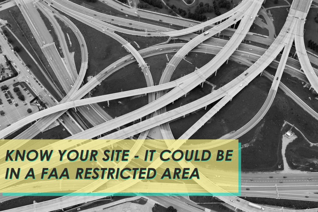
Often clients will call us after failing to launch their drone. Either it won’t take off or even start because they are too close to an airport, prison, hospital or military base. These locations are FAA restricted areas.
The FAA has created a map that is easy to reference and see if your site is in a no-drone zone. If your site is located inside a numbered square, you will be required to file for a waiver before each flight. In order to get a waiver, you will need an FAA Remote Airman’s License and a properly registered drone.
Is Your Drone Zone in an FAA Restricted Area?
See where we are going with this? There are several steps to take before you truly know “where” your project is. And if you are in a “0” location, better call in the manned aircraft. We can fly into any airspace because we are coordinating with Air Traffic Control while in these sensitive and busy areas.
Drones changed the photography business, which has brought about new laws and restrictions that must be abided by. Our professional aerial photography services ensure that you don’t run into any complications with your project. We know the drone zones and plan accordingly. Stay safe out there!