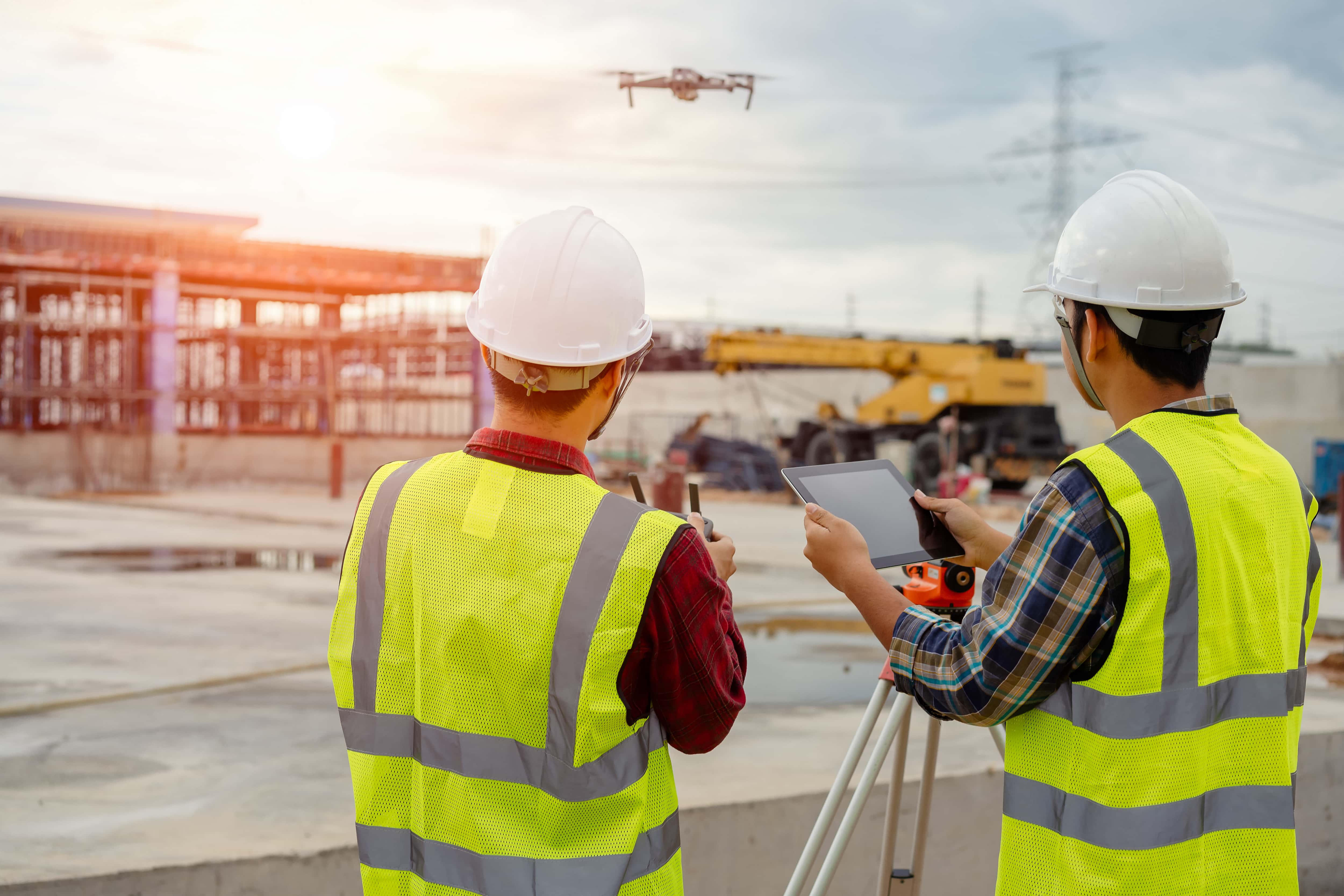
Walk onto almost any major commercial construction site today, and you will likely look up and see a drone operating overhead.
What used to be a novel tech gadget or a tool reserved exclusively for big-budget cinema has become a standard piece of equipment on the modern jobsite. General contractors, project managers, and developers use unmanned aerial vehicles (UAVs) to change how they monitor, document, and market their projects.
If you’re new to using drones in your building projects, you might wonder how these tools fit into your daily operations. You don’t need a background in advanced aerospace engineering or complex photogrammetry to see the immediate value of aerial construction photography. Drone technology is about improving communication, capturing clear visual data, and keeping people safe on the ground.
Here is everything you need to know about how drones are used in construction, when to deploy them, and why they have become essential for successful project delivery.
How Drones Are Used in Construction
Drones serve as a continuous eye in the sky, providing a level of site oversight that was previously impossible without hiring expensive manned aircraft. Instead of relying entirely on ground-based observations, project teams use drones to gather real-time data that influences daily decision-making. Here’s how:
Quality Control and Quality Assurance
Superintendents use drones to inspect work completed by subcontractors before signing off on payments or proceeding to the next phase of construction.
For example, a quick flight over a newly installed utility line or a structural steel layout allows managers to verify that everything matches the blueprints. This immediate feedback loop prevents minor installation mistakes from turning into major structural issues later in the project timeline.
Logistics and Site Management
A construction site changes layout constantly. Equipment moves, material deliveries arrive, and excavation piles shift. Project managers use drone imagery to manage these moving parts effectively. By reviewing regular aerial overviews, managers can designate clear delivery paths, identify safe areas for crane setups, and make sure material stockpiles do not block access roads for emergency vehicles.
Safety Inspections and Risk Mitigation
Safety officers use drones to conduct site hazards assessments without putting themselves in danger. A drone can fly along the perimeter of an excavation to check for soil stability, inspect the guardrails on upper floors of a high-rise, or monitor compliance with personal protective equipment requirements across a ten-acre site. Identifying these risks from the air allows your team to correct hazards before an accident occurs.
Why Drone Photography Matters in Modern Construction
Construction sites are complex, fast-moving environments. Decisions are made every hour, and keeping everyone on the same page is a constant challenge. Traditional methods of site tracking often rely on superintendents walking the site with a smartphone or clipboard. While this remains necessary, it only provides a ground-level perspective that can miss the bigger picture.
Professional drone photography gives you a bird’s-eye view of your entire project in a single image. This perspective provides clarity that ground photos just can’t replicate.
Improving Project Communication
A construction project involves many stakeholders, including owners, investors, architects, subcontractors, and local government officials. Many of these individuals do not visit the jobsite every day. Some may live in another state entirely.
When you share regular aerial photos, you provide an indisputable, easy-to-understand update on project status. Investors can see the foundation being poured, architects can verify that the framing matches their design intent, and clients can watch their investment grow. This visual clarity builds trust and reduces the time spent explaining progress through emails and text reports.
Protecting Your Bottom Line
Miscommunication and undocumented errors lead to rework, which eats into profit margins. Drone photos act as a visual insurance policy.
For example, if a dispute arises with a subcontractor about when a specific phase of work was completed, you can look back at your dated aerial photo archive to find the answer. This documentation resolves conflicts quickly and keeps the project moving forward without costly legal disputes.
Drone Mapping and Site Surveying
Beyond traditional ground photography, drones aid in site surveying and mapping. When you take a series of overlapping downward-facing photos, you’re able to capture data that drone software can stitch together into a single, high-resolution visual map. This process provides an accurate, measurable overview of the entire property.
Streamlining Initial Site Surveys
Traditional land surveying requires a crew to walk a property with GPS rovers and total stations. While this method provides extreme precision for final boundary lines, it takes days or weeks to cover large or rugged tracts of land.
Drones can cover hundreds of acres in a single morning, providing an initial site survey that helps estimators understand the topography, existing vegetation, and potential obstacles before the bidding process finishes.
Orthomosaic Mapping for Earthwork Tracking
An orthomosaic map is a detailed image created from hundreds of smaller drone photos that have been geometrically corrected for perspective and lens distortion. Unlike a standard aerial photograph, an orthomosaic map is completely uniform in scale.
Contractors use these maps to measure distances, calculate surface areas, and track earthwork progress. Managers can see exactly how much dirt has been moved and how much grading remains to reach the final design elevation.
Overlaying Blueprints Onto Real-World Progress
One of the most practical uses of drone mapping is the ability to overlay architectural design files directly onto the current drone map. This allows project managers to see if the building foundation, retention ponds, and parking lots are being placed exactly where the plans dictate. Catching a variance of just a few inches early in the excavation phase saves thousands of dollars in relocation costs.
A Phase-by-Phase Guide: When to Deploy Drones on Your Project
Drones offer value throughout the entire lifecycle of a construction project. They are not just for taking a final photo when the building is finished. To get the highest return on investment, you should integrate aerial imaging into every major phase of development.
Phase 1: Pre-Construction Planning and Bidding
Before a shovel touches the dirt, you need a clear understanding of the site. Aerial photos captured early in the process provide fast context for estimators and project planners.
During the bidding phase, showing a prospective client that you already understand their site gives you a competitive edge. You can use aerial photos to plan logistics, showing where you intend to place the job trailer, where materials will be delivered, and how heavy equipment will access the site. Quick planning prevents logistical bottlenecks before construction even begins.
Phase 2: Active Construction and Progress Tracking
The active building phase is where drones do the bulk of their work. Most construction companies find that a weekly or biweekly flight schedule provides the best balance of data without overwhelming project managers.
During this phase, drone images help you track progress against your master schedule. You can visually verify that earthwork is moving at the right pace, monitor the installation of utilities, and track the progress of structural framing.
If you want to know more about the specific visual strategies used during this phase, you can read our comprehensive construction site photo documentation guide to see how professionals structure their site tracking.
To build a complete picture of this phase, it helps to understand the different types of construction photography explained by industry standards. While drones cover the sky, completing your documentation requires capturing the interior and close-up details. Incorporating professional ground photo and video services ensures that you document everything from the foundation to the final interior finishes, giving you a complete record from ground to sky.
Phase 3: Post-Construction and Project Handover
When the project wraps up, drones provide the final verification of work completed. These photos are delivered to the building owner as part of the closeout package.
For your own business, this is the time to capture marketing assets. High-quality aerial photos of a completed project are valuable tools for your portfolio, website, and future project proposals. They show potential clients that you deliver high-quality results and use modern methods to manage your jobsites.
Specialized Applications: Focus on Roof and Structural Inspections
One of the most practical applications of drone technology in construction is structure inspection. Roofs are traditionally difficult and dangerous to inspect, requiring safety harnesses, tall ladders, and significant time.
Drones change this workflow completely. A drone can launch from the parking lot, fly over a roof, and capture clear photos of flashing, HVAC units, roofing membranes, and parapet walls in a matter of minutes. There are clear benefits of using drones for roof inspections, including radical time savings and the elimination of fall risks for your team.
These inspection photos can be shared directly with roofing subcontractors or structural engineers to evaluate quality or diagnose leaks without anyone needing to step foot on an unstable surface.
3 Best Practices for Implementing Construction Drone Imagery
If you want to start using drones on your projects, you need a consistent strategy to get the best results. Simply flying a drone around a site randomly will not provide the structured data you need for project management.
1. Establish a Consistent Schedule and Flight Path
For progress tracking to be useful, the photos must be comparable over time. This means the drone should fly the same path, at the same altitude, and capture images from the same angles during every visit.
When you compare a photo from week two with a photo from week twelve taken from the exact same spot in the sky, the progress becomes obvious. This consistency allows you to spot delays or deviations from the plan immediately. To learn more about setting up these shots, check out our detailed guide on how to photograph a construction site effectively.
2. Legal and Regulatory Compliance
You cannot simply buy a drone at a local store and start flying it over a commercial construction site. The Federal Aviation Administration regulates all commercial drone flights under a set of rules known as Part 107.
To fly legally, the pilot must hold a remote pilot certificate from the FAA. Commercial operations also require proper liability insurance to protect against damage to property or individuals on the jobsite. Furthermore, many construction sites are located near airports or in controlled airspace, which requires official authorization before every flight.
3. Choose the Right Equipment and Expertise
While small consumer drones are highly capable, commercial projects often require more robust systems. Cameras need high-resolution sensors to capture fine details like rebar placement or concrete cracks from a distance. The drones must also be able to handle windy conditions often found on open construction sites.
Many construction firms choose to outsource this work to professional providers rather than managing an in-house drone program. Outsourcing eliminates the need to buy expensive equipment, train staff, maintain insurance, and keep up with changing FAA regulations.
Elevate Your Project Management with Construction Drones
Drones are no longer an optional luxury for forward-thinking builders. They are practical tools that solve everyday construction challenges. We offer professional drone photography based out of Nashville and Atlanta so you can gain complete visibility over your jobsite, improve safety, protect your budget, and keep your stakeholders informed.
Whether you are managing a single commercial build or overseeing a massive multi-phase development, adding an aerial perspective to your workflow keeps your project on schedule and documented clearly.